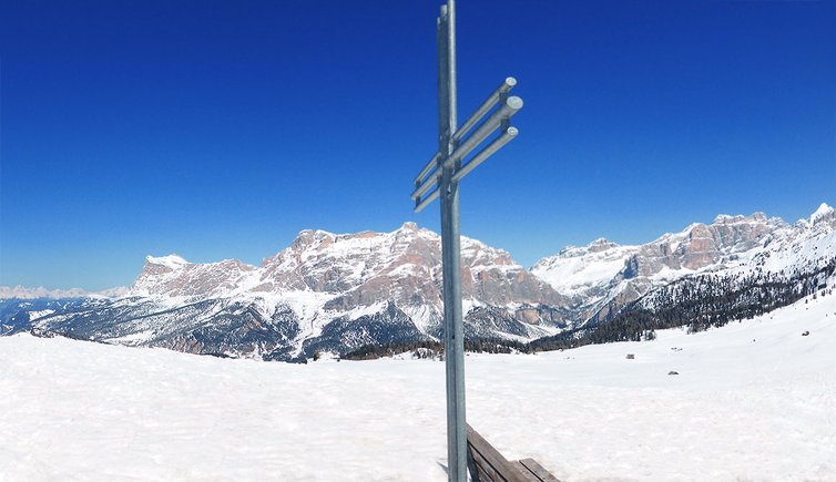
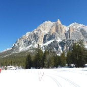
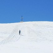
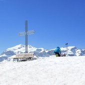
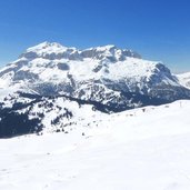
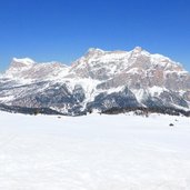
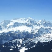
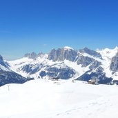
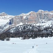
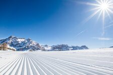
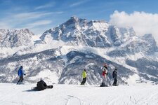
Through the fascinating winter landscape below Mt. Settsass we trudge up to the Störes summit cross - a magnificent view on the Dolomites expects us
Image gallery: Snowshoe hike Armentarola - Störes
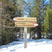
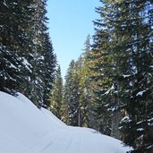
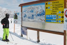
The starting point of our snowshoe hike is the parking space next the Alta Badia - Armentarola cross-country ski centre (bus stop Saré). On the opposite side of the road the first marker can be found, no. 24 "Pralongià". This we follow, it leads us to a path through the wood.
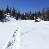
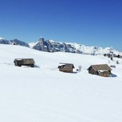
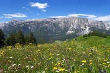
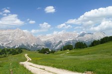
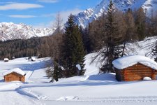
Like this we walk until the timber line where a wide snowy landscape with romantic wooden huts opens. We still have to walk quite a bit until we reach the Störes summit cross. Finally arrived, we take a breath and enjoy the fantastic panoramic view with Mt. Settsass, Col di Lana, Marmolada, the Pordoi, Sella and Gardena mountain passes, the Cir Group and the Gardenaccia Highland with the majestic Sassongher. Furthermore we see Mt. Sass the Putia and the Alpine divide in the north as well as the Fanes Group with Mt. Lavarella, Conturines and Lagazuoi which shine already pink in the afternoon sun in the east - an amazing winter panorama!
Directly below us the Rif. Pralongià mountain hut is located. We could reach it in a 20 minute-walk, but we decide to start back. A sunny winter day in the Dolomites slowly comes to a close!
Author: AT
-
- Starting point:
- Saré / Armentarola (near San Cassiano)
-
- Time required:
- 04:20 h
-
- Track length:
- 12,0 km
-
- Altitude:
- from 1.655 m to 2.181 m
-
- Altitude difference:
- +511 m | -511 m
-
- Signposts:
- no. 24, Pralongià
-
- Destination:
- Störes
-
- Recommended time of year:
- Jan Feb Mar Apr May Jun Jul Aug Sep Oct Nov Dec
-
- Download GPX track:
- Snowshoe hike Armentarola - Störes
We suggest you to check the weather conditions in advance and on site before setting out. Don’t forget to check the current avalanche forecast!
