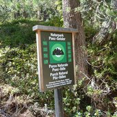
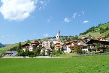
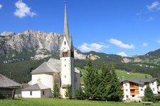
Walking from the farmsteads on the western side of La Val to reach the heart of the pure and uncontaminated Antersasc Valley, immersed in the Puez-Odle Nature Park
Image gallery: Hike from Picedac to the Malga Antersasc
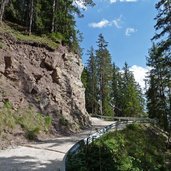
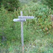
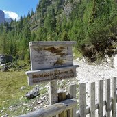
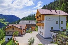
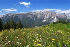
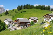
Our starting point today is the Val Badia valley, more precisely the farmsteads in Picedac. From here we follow the path no. 8 southwards on an asphalt road at first, but it becomes a forest path after the houses in Aiarëi up to the path no. 6A, which leads us to Pescol. We enjoy our walk through the wood and meadows of this nice rural location.
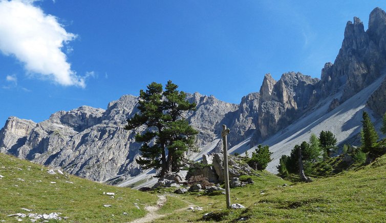
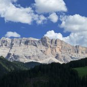
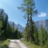
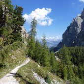
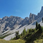
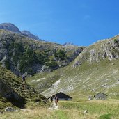
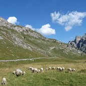
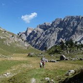
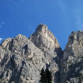
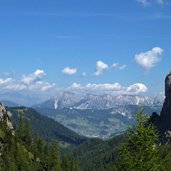
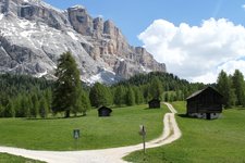
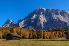
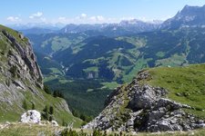
On the Passo Juvel pass we walk up gently towards Antersasc. Near to the top we start walking up a steep path to reach the valley between the Odle Group and the Gardenaccia Highland. In these last part the valley as well as the hiking path become very narrow. At the end of the path we reach a large glade covered by grass and surrounded by the majestic Dolomites. We are now at the Malga Antersascs which is an old refuge and a protection for the pasture of the sheep. That is the starting point for many paths towards Mt. Croda dei Toni and to Rif. Puez mountain hut.
We decide to return to Picedac because the return takes 3 hours. But that doesn't matter, because the unspoilt alpine landscape alone is reason enough for this extended day hike.
Author: AT
-
- Starting point:
- Picedac (La Val)
-
- Time required:
- 06:30 h
-
- Track length:
- 20,8 km
-
- Altitude:
- from 1.456 m to 2.078 m
-
- Altitude difference:
- +921 m | -921 m
-
- Signposts:
- **Signposts:** no. 8, 6A, 6
-
- Destination:
- Antersasc pasture
-
- Recommended time of year:
- Jan Feb Mar Apr May Jun Jul Aug Sep Oct Nov Dec
-
- Download GPX track:
- Hike from Picedac to the Malga Antersasc
If you want to do this hike, we suggest you to check the weather and trail conditions in advance and on site before setting out.
