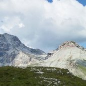
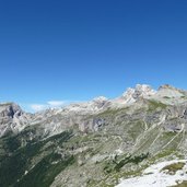
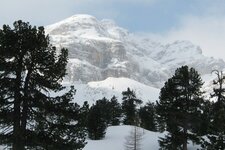
The Piz de Puez is an up to 2,918 m high mountain with two peaks, divided into Mt. Piz de Puez East and West
Image gallery: Piz de Puez
300 m of distance and a wind gap separate the two peaks in the northwestern part of the Puez Group from each other: Mt. Piz de Puez West rises up to 2,918 m a.s.l. and represents the highest summit of the mountain group. Mt. Piz de Puez East, however, is a popular hiking and ski touring destination and only 5 metres lower. Both are located in the Puez-Odle Nature Park.
The mountain tour to the 2,913 m high Mt. Piz de Puez East starts at the Rif. Puez mountain hut, located at 2,475 m a.s.l. in the beautiful Vallunga valley in the Val Gardena. It crosses steep terrain and leads in serpentines to the summit. Usually the hike is combined with the ascent of the slightly lower Mt. Col de Puez. In winter a difficult ski tour leads from the Valle di Longiarù valley in the Val Badia to the summit. It offers a spectacular view on the Dolomites!
The two peaks form also the border of the municipalities of San Martino in Badia and Selva Gardena. Mentioned for the first time in 1520 AD as "Paiz kofl", Mt. Piz de Puez was named in the Atlas Tyrolensis in the middle of the 18th century as "Puetsen". The current name probably refers to the close by Puez Alp, known for the ammonite findings made in this area.

